Showers continue to spread across the area and will continue off and on through tonight into Wednesday morning. After that there will likely be a break in the activity Wednesday afternoon.
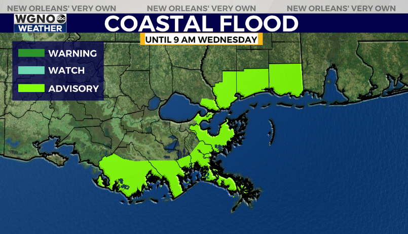
The area of low pressure bringing rain to the region is also creating strong southeasterly winds Tuesday evening. That is pushing water up to the coastal areas and creating the chance for minor coastal flooding. A coastal flood advisory stays in effect through 9 AM Wednesday.
A stronger system will push in on Thursday with high rain chances for everybody. That rain will continue into early Friday until the front pushes through. Highs will be around 70 through Thursday but only around 50 behind the front Friday and into the weekend.
We could also see some stronger storms on Thursday and Thursday evening and we are currently under a level 1 threat outlook from the Storm Prediction Center for severe weather. Stay tuned for details on that over the next couple of days.


