Wet weather is moving through Southeas Louisiana this mornig. We will continue to see rain on and off through the middle of the day Wednesday, with most locations seeing only light to moderate rainfall.
Late Wednesday afternoon, most models show that there will likely be a break in the rain activity before it picks back up again by early Thursday. The heaviest rainfall can be expected Thursday afternoon into Thursday evening.
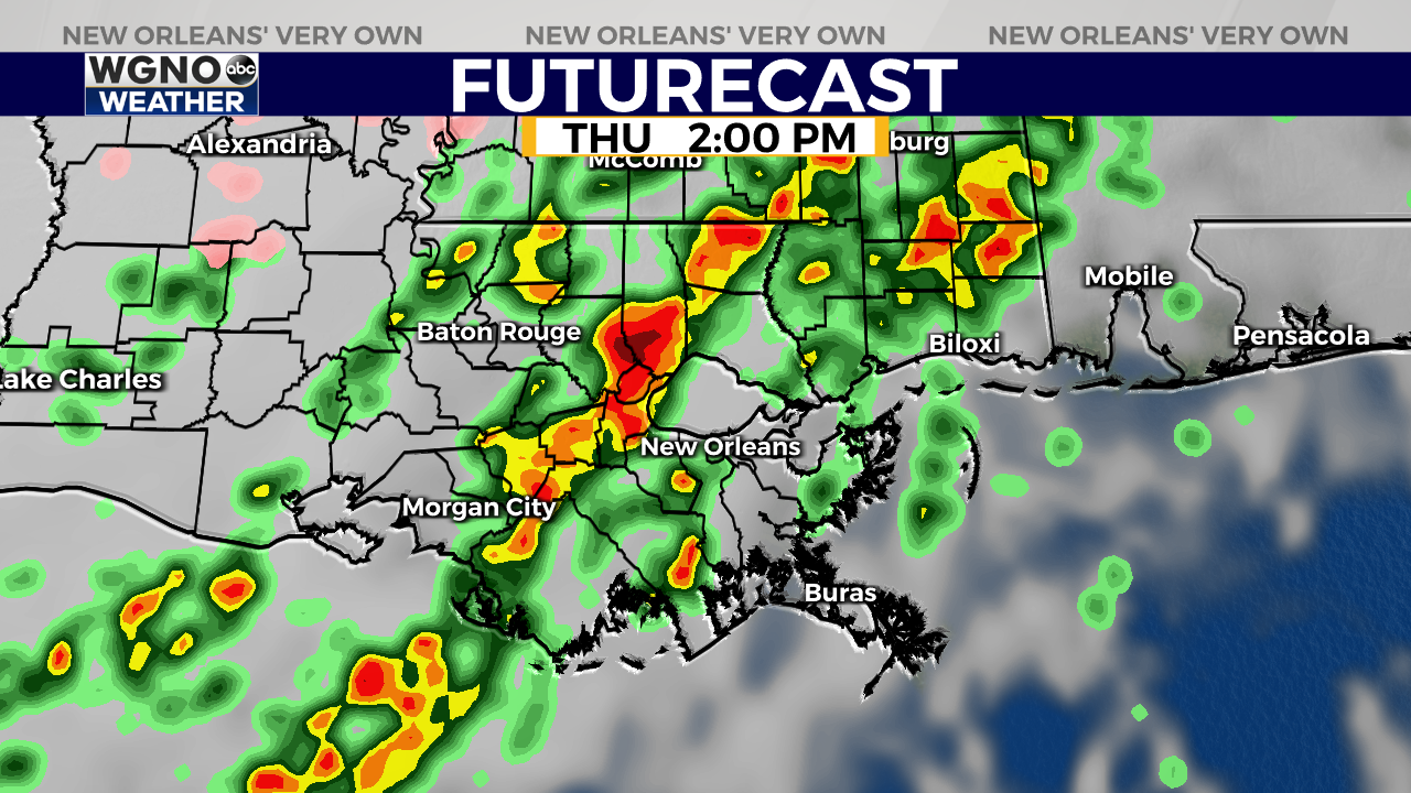
The Storm Prediction Center says there is a level 1 out of 5 threat for severe weather tomorrow. Heavy rain and gusty winds will be the primary impacts from any strong or severe storms on Thursday.
The area of low pressure bringing rain to the region is also creating strong southeasterly winds that are pushing water up to the coastal areas and creating the chance for minor coastal flooding.
After the rain clears out in the first half of the day Friday, cooler and drier air will move into the region. Temperatures will likely drop to below freezing for the northshore early Saturday morning.


