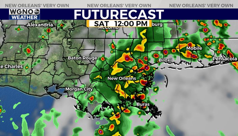
Rain chances will stay on the high side through early next week. The amount of moisture in the atmosphere will stay on the high side and with temperatures warming into the mid-80s each day showers and storms will pop up quickly around the area.
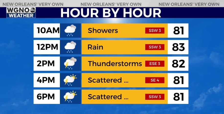
However, it will not be an all-day rainfall. These showers will move through quickly so any one spot will likely only see rain for 30 minutes at a time. The exception will be if the rain forms into bands where cells repeat over the same area. That would also be the biggest flood threat. In general, the showers themselves would not create flooding but if you get them raining over an area for any length of time, it would be possible.
Look for warm and muggy conditions with scattered showers pretty much each day through Tuesday. Highs will be in the mid to upper 80s.
After that, it looks like a cold front will try to move through during the middle of the week. This would bring cooler temperatures and much lower humidity by the end of next week. Right now Wednesday looks like the day this will move through although that could change since are still several days out.