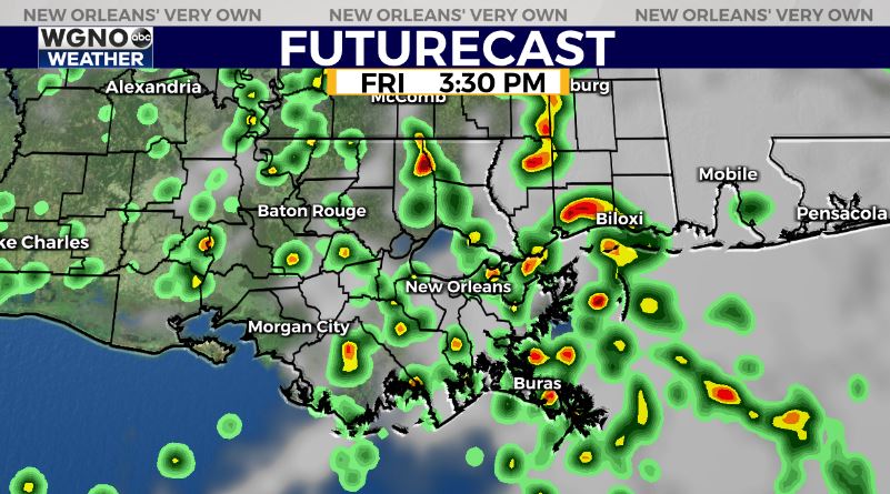
Warm and muggy conditions will continue through the weekend and likely most of next without any real sign of a front anytime soon. Moisture left over from Nicholas will continue to provide fuel for showers and storms to pop up around the area through the weekend.
Rain chances will be more spotty in nature over the next few days similar to what we would see during a normal summer day. Any showers or storms that develop will have the chance for locally heavy downpours and high rainfall rates. Due to the saturated ground, this could lead to street flooding if it occurs.

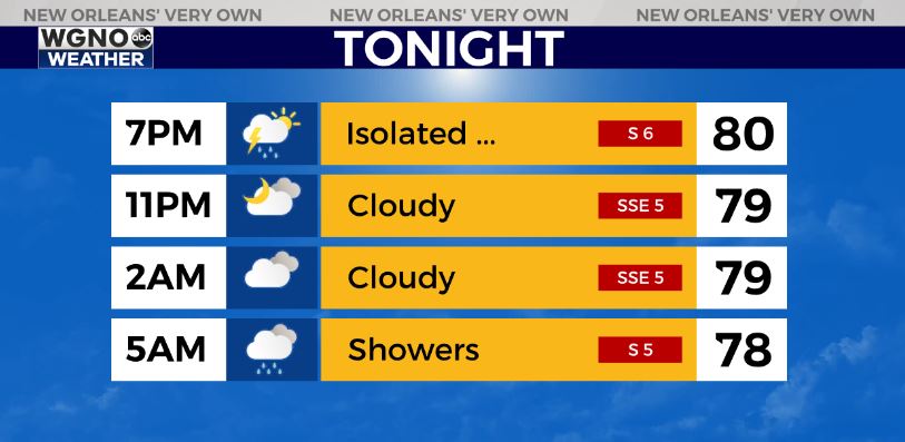
Afternoon highs will mainly top out in the upper 80s over the next week with overnight lows in the mid 70s.
The remnants of Nicholas will continue to dissipate through the weekend. The good news is that there is not any additional tropical threat for the northern Gulf over the next week.