After a very long stretch of hot weather, our heat wave has finally come to an end.
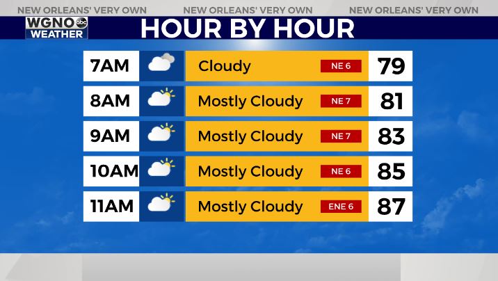
Temperatures this afternoon will only top out in the upper 80s for most locations, thanks to increased cloud cover and a little bit of rain in the area. Overnight, lows will drop into the mid 70s for the Northshore, with Southshore locations generally seeing upper 70s.
From Tuesday through the end of the work week, expect highs to be in the mid to upper 80s with rain chances between 40 and 60 percent each day. No one day will be a washout, but we will have scattered storms in the area each afternoon.
In the tropics we are watching Potential Tropical Cyclone 2 moving across the Atlantic over the next few days. This will likely become Bonnie overnight tonight. The National Hurricane Center track brings this one well south of the Gulf with landfall near Trinidad and Tobago, then Nicaragua.
Certainly, this poses no threat locally. One thing to note is that development in this region usually doesn’t occur until later in the summer, which means this could be an early start to waves coming off of Africa.
We also are watching an area in the northwestern Gulf of Mexico that has a low chance of developing into a brief tropical depression or storm before moving west toward Texas. The National Hurricane Center only gives this system a 30 percent chance of formation. Next name on the list is Colin as we continue to keep close eyes on Africa’s coastline.