NEW ORLEANS — A Tropical Storm Warning is currently in effect for the Louisiana coast due to “Potential Tropical Storm 3.”
New terminology from the National Hurricane center this year is confusing, but basically this is a change of policy to allow watches, warnings, and tropical forecast graphics to be put out without actually having a named storm or depression.
The impacts on the area though will be the same regardless of this system becoming Cindy or not. The Tropical Storm Warning indicates the likelihood of some tropical storm force conditions along the coast. Specifically winds of 35-40 mph and higher gusts, along with coastal flooding. Coastal flood levels should only be about 1-3 feet, so not a huge impact, but we will see water in areas outside the levee system.
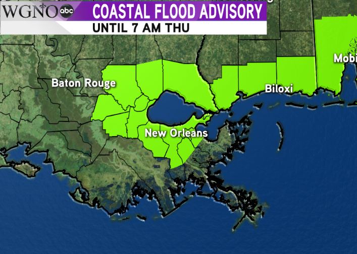 The same goes for areas under a Coastal Flood Advisory. Low spots that are impacted by persistent easterly and southeasterly flow could get flooding.
The main impact of this system should be heavy rain. 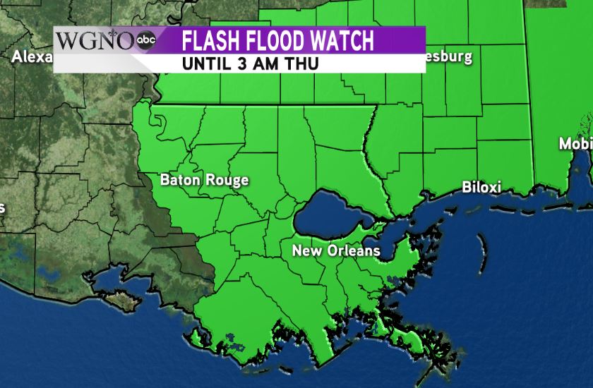 A Flash Flood Watch is in effect through Thursday morning due to the potential of flooding from heavy rain. While most of the area picks up between 3-6 inches, isolated spots could see up to 10. As always it’s going to be important to see where the heavier bands set up over the next couple of days.
Keep in mind also as with any land-falling tropical system, cells will be rotating as they move on shore. We’re going to see the chance for isolated tornadoes Tuesday through Wednesday. Water spouts will be possible as well.
These tornadoes are usually weak, but move very fast and can cause damage with little time to prepare.
Rain chances will continue into Thursday as the system moves west toward the Texas coast.
So to recap, the main impacts will be locally heavy rain and flooding potential, areas of coastal flooding, and isolated tornadoes.


