


Hurricane Sally is now a Category 1 storm, with maximum sustained winds of 85 mph (137 kph) as of Tuesday morning. Despite this, Stacy Stewart, a senior specialist with the National Hurricane Center, says portions of Alabama and the Florida panhandle could see “historic flooding.”
Residents in these areas “need to understand there is going to be extremely heavy rainfall, like what they may have never seen before,” Stewart said. “You don’t have to have a very powerful hurricane like a Category 3 hurricane to get significant storm surge.”
Some places could be inundated with 4 to 6 feet of water, and people can drown in the flooding, Stewart said. “If people live near rivers, small streams and creeks, they need to evacuate and go somewhere else,” he said.
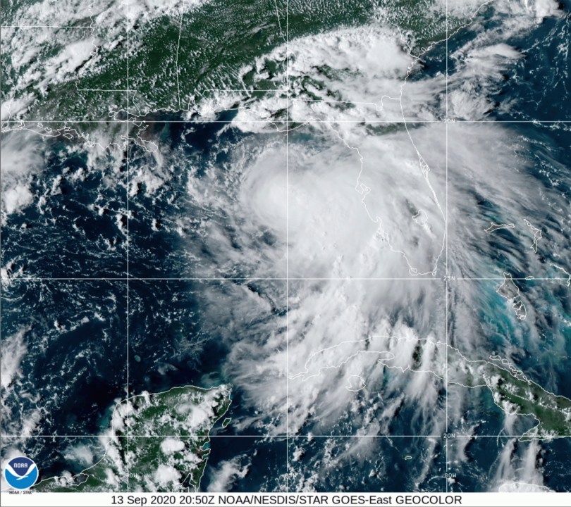
The Florida Panhandle is being pummeled by heavy rains from Hurricane Sally’s outer bands. The powerful, plodding storm was crawling toward the northern Gulf Coast at 3 mph (4.8 kph) early Tuesday.
Its slow speed has raised concerns of extreme rainfall and flooding. Sally had winds of 100 mph, but forecasters were predicting the storm could strengthen even further before it is expected to blow ashore near the Mississippi-Alabama state line late Tuesday or early Wednesday.
Florida’s governor declared an emergency in two western Panhandle counties. President Donald Trump issued an emergency declaration for Louisiana, Mississippi and Alabama.


