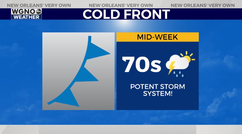
Happy Wednesday! We have summer-like conditions now, Spring with a squall line approaching from the west shortly, and fall behind this cold front Thursday until Halloween.

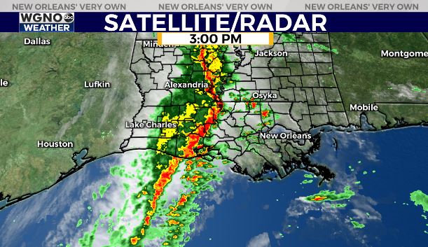
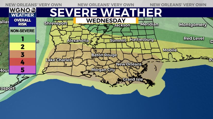
Behind this potent storm system, anticipate a pattern change with one more real cold front moving through, bringing fall back again in southeast Louisiana. Late today to tonight, heavy downpours could lead to possible street flood advisories, so have a way you can receive warning information on hand. Rainfall amounts will be between 1-3 inches in many spots, but the line will move quickly, at least. This is also posing widespread severe threats with damaging winds and isolated tornadoes possible. The Storm Prediction Center is issuing a level 3/5 Enhanced Risk for severe weather across WGNO’s viewing area.
Timing will be between 4PM-9PM across southeast Louisiana. We’ve already had several tornado warnings today, so stay aware. A watch is issued until 10PM.
Behind this boundary, we start to clear out Thursday as windy conditions move in with chilly air. Highs will only be in the low 70s and winds could be gusting into the 30s.
May be best to secure your Halloween decor if this is possible! The forecast for Halloween weekend across southeast Louisiana truly will be beautiful as fall returns!
We’ll have more information on WGNO News at 5PM, 6PM, and 10PM.