Simply a gorgeous day today across southeast Louisiana and New Orleans proper after Thursday’s front cleared our area, ending storms, thunderstorms, plus low-end severe threats!
Earlier, forecasts verified since we were anticipating an incredibly chilling start with 40 degree temperatures beyond Lake Pontchartrain.
Overnight, lows drop even more to be below 40 across some locations as December returns.
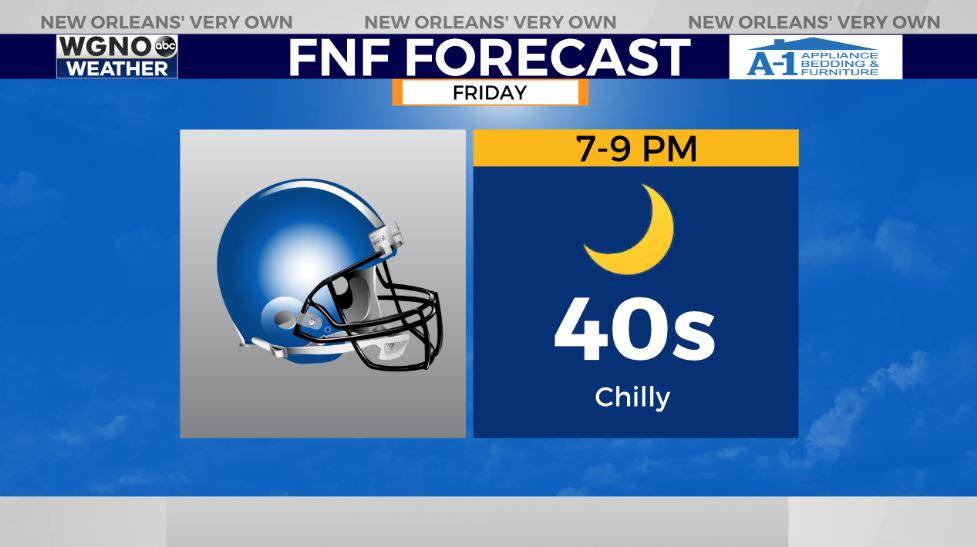
Brace yourself if attending Friday Night Football games outside for hours at a time.
Fog plus frost remain possible over Northshore locations. Remember all 3 Ps: people, pets, plants! Fortunately, for these next 24 hours, pipes won’t face any problems!
Rain in our area will return early Sunday as yet another trough moves your way. At that point, reinforcing cool air moves through once more.
Keep up, updates stay available during all newscasts plus online!
Check out current conditions near you: https://digital-stage.wgno.com/weather/new-orleans-weather-radar/
Stay up to date with the latest forecast: digital-stage.wgno.com/weather/forecast/
Download the WGNO Weather App to stay connected this hurricane season


