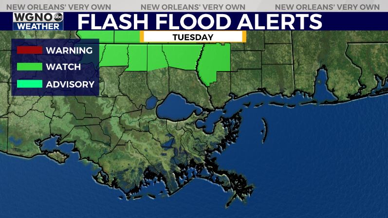
Another storm system will be moving across the lower MS River valley on Tuesday morning bringing another round of strong to possibly severe weather. However at the moment this looks like more of a large cluster of storms as opposed to a long line like the past couple of events.

Gusty winds and possibly a tornado will be possible along the leaded edge of the storm complex.

Right now the models keep that north of I-10 but that may change overnight. At the very least it looks like storms will move through the Florida parishes and southern Mississippi counties.

Expect the threat of locally heavy rain with this system as well. A Flash Flood Watch is in effect for areas north of I-12 due to the prolonged threat of heavy rain that could lead to street flooding.
After that look for clearing by the afternoon with mid 80s. Wednesday looks very warm with upper 80s for the area before a front moves in with cooler and drier weather for the second half of the week.


