Good Morning, New Orleans!
Happy Tuesday! The forecast for your holiday was extremely warm as temperatures reached 70s, but we weren’t breaking any records. The warmest Christmas on record was still 2015’s with a high forecast of 82 degrees at New Orleans International Airport. We continue flirting with records through New Year’s Eve!
Tonight, anticipate 60s on both sides of Lake Pontchartrain, and rain chances increase.
Once again, a warm forecast for New Orleans and southeast Louisiana on Tuesday!
Temperatures will reach the upper 70s or 80s all week. The Storm Prediction Center is issuing a level 1 out of 5 Marginal Risk for severe weather today and tomorrow as a few localized heavy downpours may be accompanied by gusty winds or hail.
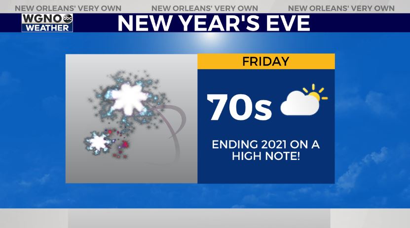
New Year’s Eve looks warm and mild as rain chances remain around 30% and temperatures reach mid-70s.
Beyond tomorrow, rain chances stay low into next week as we welcome 2022.
We’ll have more information on WGNO News at 5PM, 6PM, and 10PM.


