NEW ORLEANS – Tropical Depression Harvey continues to spin its way through northern Louisiana and into central Mississippi.
This will be the last day of real impacts across our area. However, we do have to wait until the center pushes east before we really start to clear out.
The first thing you will deal with today will be tropical showers.
Small bands of showers will be developing around the flow of Harvey and rotating through the area. These will be fast-moving but will contain locally heavy downpours.
This will create dangerous driving conditions and could also lead to isolated street flooding if a band were to sit over the same areas for any length of time.
We will also continue to see an onshore flow through the day. This will mean the coastal flood threat will still remain.
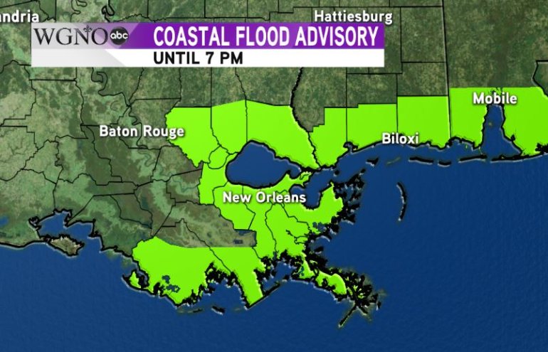
The Coastal Flood Advisory will stay in effect until this evening.
We’re not going to see additional flooding take place, but high water that is already around the area will not be able to drain out until tonight and tomorrow.
Otherwise, by Friday, the remnants of Harvey will quickly move northeast, and we will see drier conditions heading into the holiday weekend.


