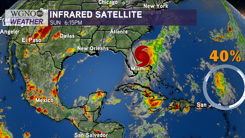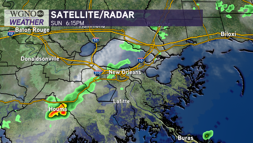
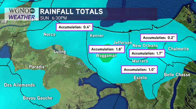
Pockets of heavy rain in WGNO’s viewing area were the themes all day today.
Localized flooding remains possible amid heavy downpours, though storms will likely be below severe limits.
Sky conditions stay mostly dry tonight to mid week as a cool front brings minimal humidity breaks.
Sunshine continues Monday as we welcome August throughout New Orleans or elsewhere locally, but several quick, typical summertime pop-up storms may occur.
Feels-like temperatures could meet Heat Advisory criteria based off of ranging from 104 degrees to 108 degrees through 6PM. Never ever leave children, animals, etcetera unattended inside cars while this is effective.
Drink plenty water, staying hydrated as highs near mid 90s during each afternoon after lunch.
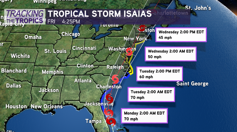
Tropical Storm Isaias is continually tracking up America’s east coast, moving away from the Gulf of Mexico, though increasing in strength, before making landfall.
Further east, National Hurricane Center meteorologists keep watching moderate chances for formation because tropical waves continue rolling into open Atlantic waters. Right now, no local threats or impacts are expected.