The forecast for your Saturday has been warm as temperatures reached upper 70s or low 80s this afternoon after lunch.
Rain chances return late tonight to Sunday and next week. We have storms rolling into the viewing area now, no severe concerns at the moment.
Anticipate a number of localized heavy downpours in WGNO’s viewing area tonight on radar.
This is happening out ahead of the cold front heading our way.
The Storm Prediction Center is issuing a Marginal Risk for severe thunderstorms, so have ways to receive warning information in case anything is issued.
Temperatures will soon fall into the 60s and 50s once that front has passed.

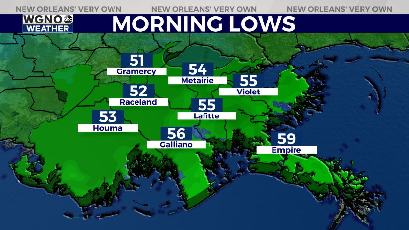
Overnight, you can anticipate 40s on the Northshore again when waking up Sunday morning. Sunday will be beautiful as temperatures top out in the 60s.
We’ll have more information on WGNO News Sunday at 5PM and 10PM!