After our last cold front moved through late Friday, high pressure settled in over the Gulf Coast, providing us with clear skies and calm conditions. That high pressure system sticks around for about one more day before it moves off to the east and allows for moisture to begin flowing back into the area.
On Monday, skies start out mostly clear but turn mostly cloudy by the evening. A few showers will be possible late Monday night, but the highest rain chance will come early Tuesday morning.
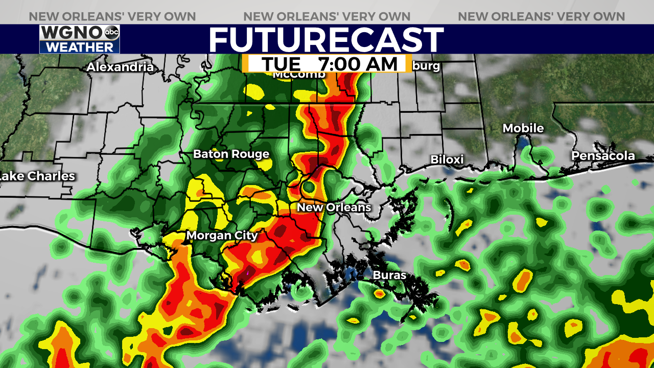
Our latest models show scattered showers developing shortly after midnight Monday ahead of a line of storms that looks to move through between 5 a.m. and 9 a.m. Tuesday.
This timing is subject to change though, so be sure to keep an eye out for forecast updates over the next 24 hours or so.
As the line of storms moves through, expect periods of heavy rainfall, some lightning and thunder, and occasionally high wind gusts. The bulk of the stormy weather moves east by midday Tuesday, but some off and on showers may linger through the afternoon.
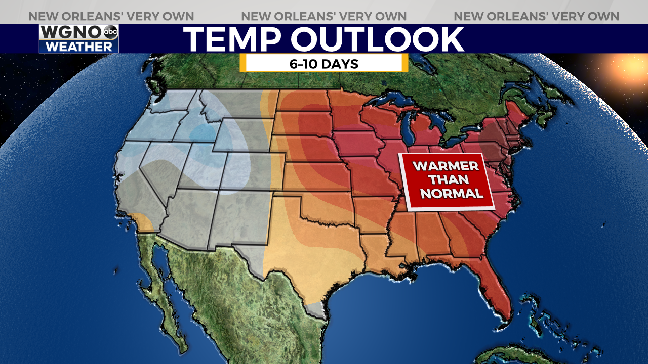
After that, we look mostly dry for the rest of the week as highs remain in the 70s.