Temperatures will stay chilly tonight as we fall through the 40s into the 30s across most of the area by early Saturday.
Look for low to mid 30s to start the day Saturday in the northern half of the area with upper 30s on the south shore.
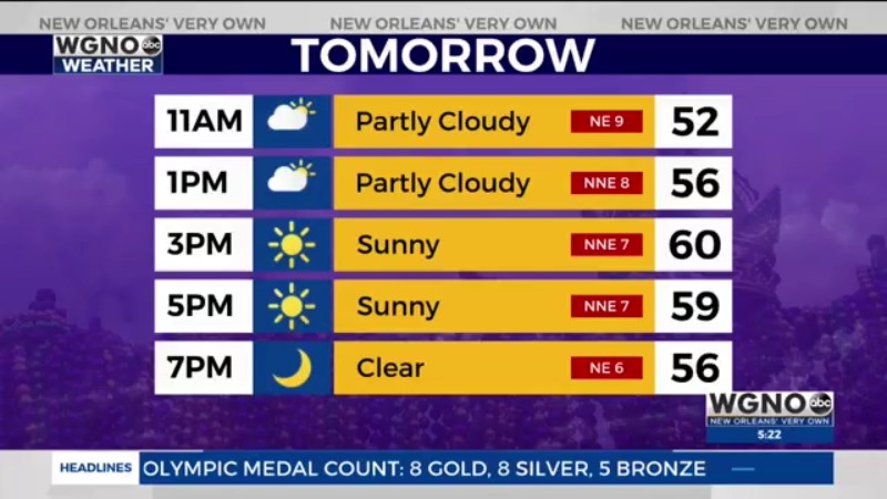
Saturday looks nice but cool with low 60s for highs.
We will see those numbers drop quickly again tomorrow night though so you’ll want to dress warming again for the parades.
Sunday will be warmer with mid to upper 60s although some clouds start to move back in.
Next week we will see active weather around the region but not necessarily for us.
It will be warm with mid to upper 70s Monday and near 80 Tuesday.
Monday will have the chance for some scattered showers and storms although it looks like a lot of that activity is in the northern half of the area.
Right now the best chance of rain looks to be either late Thursday or Friday as a front moves in so that will be something to watch for parades later next week.


