The forecast for New Orleans and southeast Louisiana was stifling all day today and will be again tomorrow.
Highs, themselves, will reach upper 90s again but feel more like 100s during the hottest part of your day Sunday. An Excessive Heat Warning was issued Saturday, which means index values neared 113+ in many spots. A Heat Advisory was issued, as well, until 5PM. Overnight, over both sides of Lake Pontchartrain, expect 70s.
Tomorrow to late weekend, we continue seeing little rain for brief relief from heat! 20% or 30% chances remain the theme.
This weekend, high pressure remains over the area before pushing south, so temperatures are scorching. Anticipate a heat advisory once more Sunday with criteria meeting heat index values between 105 and 110+ degrees. This will be in effect from 9AM until 7PM.
Henri is the season’s eighth named storm and will impact the East Coast by Sunday. We are watching the tropics closely during peak hurricane season for formation potential near our local coastlines.
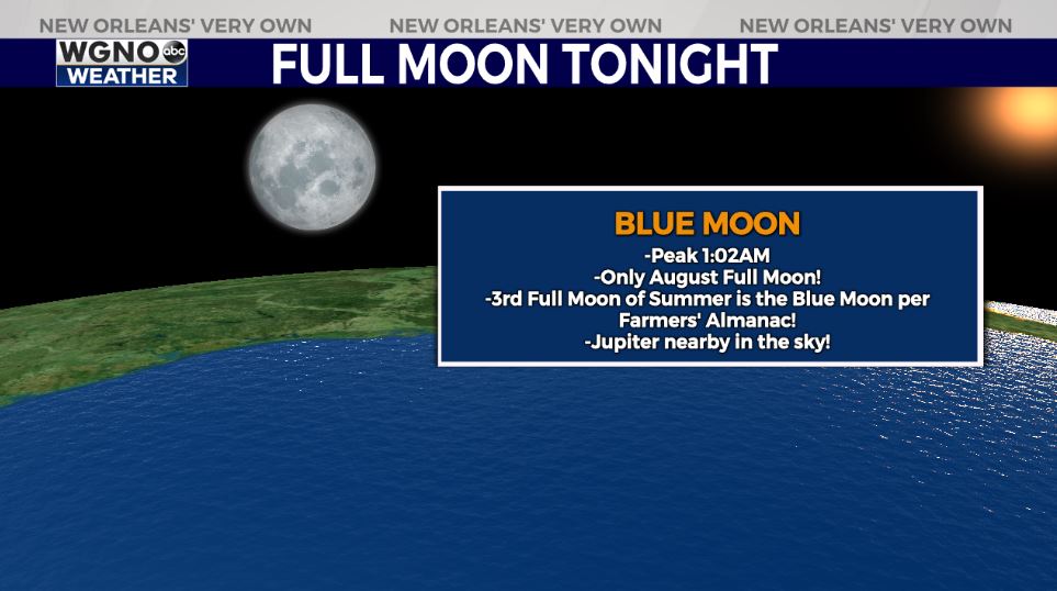
Look up tonight to see a rare Blue Moon, which peaks around 1:02 a.m. CST Sunday morning. This is the third full moon of the summer, making it a rare Blue Moon per Farmers’ Almanac. The other full moons were June 23rd and July 24th with one more September 20th. The moon and Jupiter will also make a close appearance tonight in the sky, only separated about 5 degrees. Look up to see these phenomenons as viewing conditions will be beautiful across New Orleans and southeast Louisiana!
Join in for forecast updates and the latest track information on WGNO News at 5PM and 10PM.


