New Orleans’ forecast for Sunday has included heavy rain in much of southeast Louisiana. This is now clearing our area while heading east.
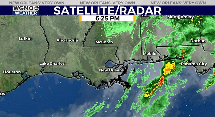
A warm front lifted north, bringing thunderstorms across Northshore and Southshore, but we were spared any severe weather, gratefully!
Conditions have started improving as a much colder air mass comes behind front number two since last week.
Monday, anticipate an incredibly windy, chilling start with 40 degree temperatures beyond Lake Pontchartrain.
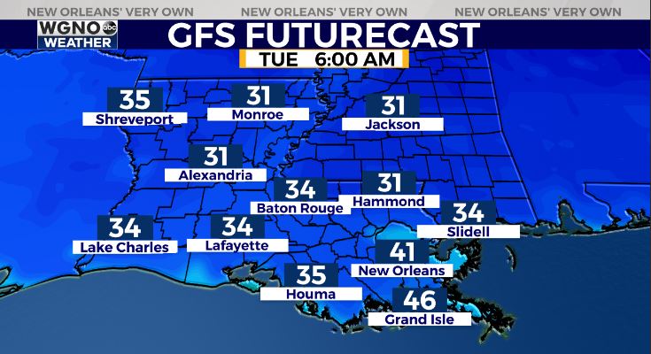
Tuesday, lows drop even more to be below freezing as we welcome Meteorological Winter and December… I am talking coldest weather throughout southeast Louisiana since pre-COVID times circa February!

Hence, one Freeze Watch is issued across Northshore locations from 10PM Monday until 8AM Tuesday! Frost is possible on the Southshore. Remember all 3 Ps: people, pets, and plants! Fortunately, for these next 48 hours, pipes won’t face any problems!
Hurricane Season 2020 officially ends tomorrow, so some good news there, also!
Keep up, updates stay available during Good Morning New Orleans plus online on WGNO.com!
Check out current conditions near you: https://digital-stage.wgno.com/weather/new-orleans-weather-radar/
Stay up to date with the latest forecast: digital-stage.wgno.com/weather/forecast/
Download the WGNO Weather App to stay connected this hurricane season


