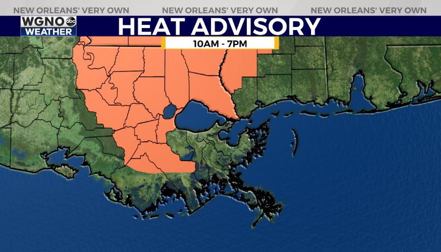
Good evening on this Saturday! The forecast for July 24th across New Orleans and southeast Louisiana was hotter, with humidity and fewer storms keeping temperatures high in comparison on July’s normal trends. Feels like conditions are now within double digits after a heat advisory was issued across parts of our area and west all day today.
Afternoon highs reached the 90s, tying a record high set back in 1981 but overnight, over both sides of Lake Pontchartrain, expect 70s.
Tonight to Sunday afternoon, again, there’s the chance we see additional scattered rain chances! 40% or 50% chances remain the theme.
Farther into your weekend, most rain chances are daytime heating driven throughout the hottest part of each afternoon after lunch.
Open waters currently stay quiet with minimal Gulf development potential into next week, so some great news there! We are, however keeping a close eye on one area of low pressure near Florida’s coast for formation potential. Models are all over the place, but our only local impact would be increased rain chances next week, if anything!


