This is an archived article and the information in the article may be outdated. Please look at the time stamp on the story to see when it was last updated.
A cluster of storms moving through southern Mississippi will continue to move to the east and southeast through the afternoon and evening. A few lingering storms will develop across the Florida parishes before tapering off around midnight.
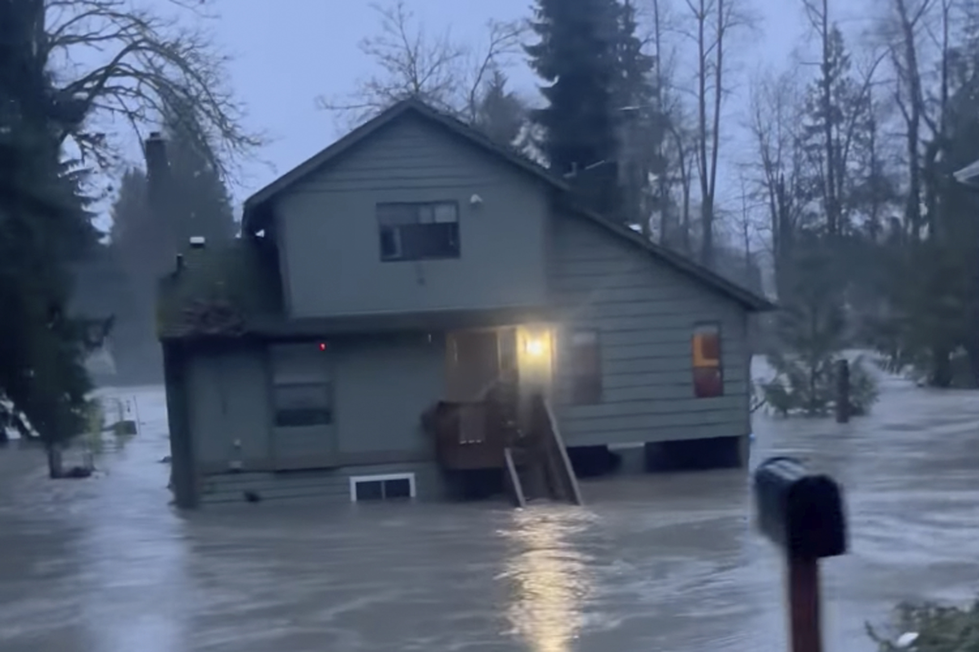
The biggest issue at this point is lightning and the slow movement of the storms which could lead to isolated street flooding.
After tonight we see rain chances start to go down. Look for a few isolated storms Friday around 30% and then only spotty coverage over the weekend at 20%. Temperatures will warm into the upper 80s through the weekend with heat index values 95 and above. Summer is here early!

