Scattered showers and storms are popping up Wednesday evening but the main line of rain will come through later tonight. Look for heavy rain and gusty winds as this line moves through. The timing of this looks to be around 9PM near the Mississippi border to around 2-3AM near the coast.
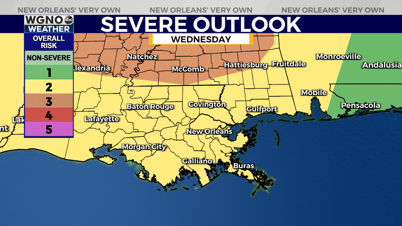
We do have a level 2 threat of severe weather from the Storm Prediction Center. The main severe threat right now is likely gusty winds along the leading edge as the line moves in. However an isolated tornado will also be possible.

We do have a Flash Flood Watch for the area as well. Locally heavy rain could lead to areas of street flooding as the line moves through.
Look for a cooler day Thursday with rain ending during the morning. Temperatures will only top out in the mid 70s Thursday afternoon with less humidity.


