A beautiful stretch of weather is on the way as we head into the weekend!
Humidity has dropped across the area behind a cold front earlier today. Dewpoints have gone from the mid to upper 70s over the past couple of days to the low to mid-60s this evening and should fall into the 50s in some spots overnight.
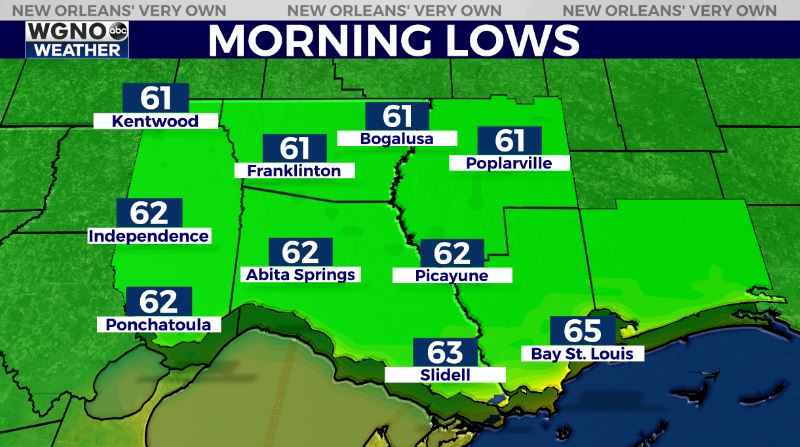
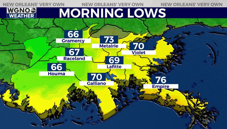
That dry air will mean cooler and very nice conditions for the next couple of mornings. Look for lows in the low to mid-60s north Friday and Saturday with upper 60s to low 70s south. The coolest spots will be farther inland.
Afternoon temperatures will top out in the upper 80s Friday through the weekend. Look for plenty of sun over the next couple of days with the low humidity.

By Sunday moisture starts to build back in and spotty showers and storms will be possible. Rain chances continue into early next week as tropical moisture feeds up into the area from the southwest.


