Happy Lundi Gras! Over these past few Carnival Seasons, our forecast for New Orleans has been warmer than some of the distant past!
Although 2021 looks very different, this weather we have may have kept you from attending a bunch of parades, anyway!
Mardi Gras, as it stands, looks cold without rain in much of Louisiana, so some great news there.
As a fun lesson on historical Mardi Gras climatology for you, guess which Fat Tuesday was the coldest on record so far?

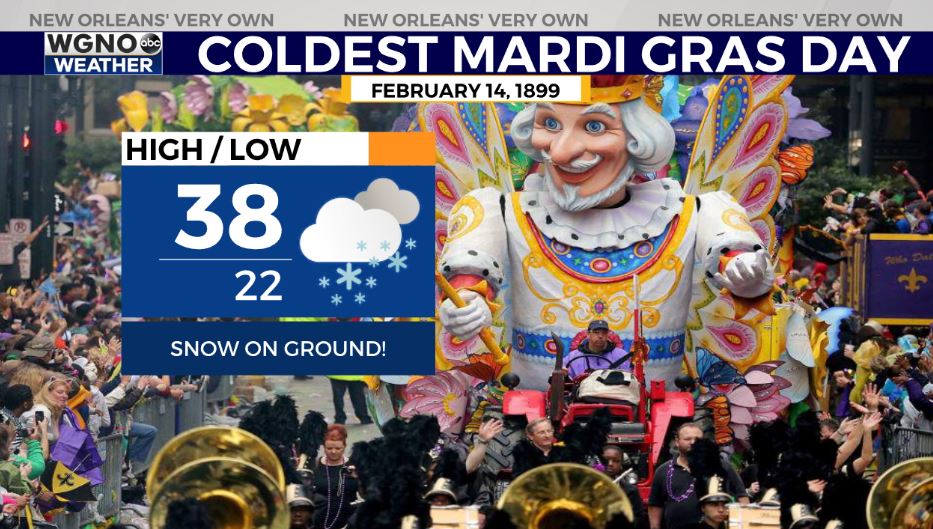
February 14, 1899 was the coldest Mardi Gras on record with a 38 degree high, 22 degree low, and a bit of snow along Rex’s parade route.
Prior to Rex’s royal roll, crews had to clear nearly three inches of snowfall off his route on the dual Valentine’s Day and Mardi Gras Day.
Now, our forecast for this year will possibly outdue this standing record with overnight lows in twenties and highs in thirties.
Highs will remain in the 30s and may be just one degree warmer than Mardi Gras day was 122 years ago. Stay warm and stay tuned for forecast updates on the purple, green, and COLD holiday ahead!
Check out current conditions near you: https://digital-stage.wgno.com/weather/new-orleans-weather-radar/
Stay up to date with the latest forecast: digital-stage.wgno.com/weather/forecast/
Download the WGNO Weather App to stay connected this hurricane season


