It was another warm day today across southeast Louisiana and New Orleans proper as highs reached 70+ degrees. This is not the theme by Christmas Eve as we’ll struggle reaching 50s!
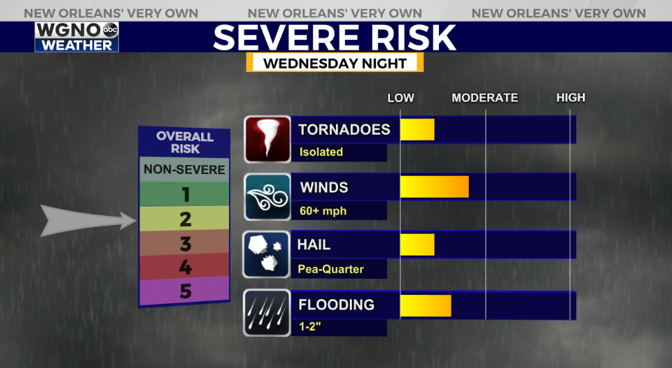
Rain chances increase significantly overnight tonight to early Thursday morning as we are under a Level 2/5 Slight Risk for severe thunderstorms.
On radar, expect our increasing severe weather threat at midnight until daybreak.
Right now, heavy rain capable of producing localized street flooding as well as gusty winds and a few tornadoes are my primary concern.
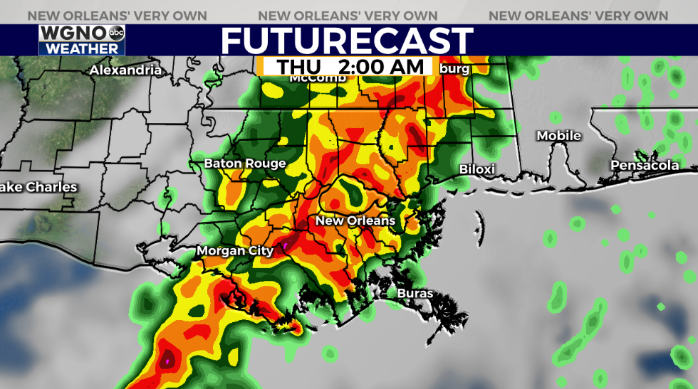
A cold front pushes our way, bringing thunderstorms across Northshore and Southshore locations around 2:00AM. Have ways you can receive warning information on hand incase one alert is issued while sleeping.
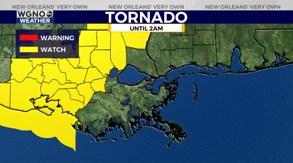
A Tornado Watch remains in effect until 2AM for many western portions of the state and includes St. James, Tangipahoa, as well as Washington Parishes in WGNO’s viewing area.
Conditions improve once that system progresses east, then the much colder air filters in behind cold front number two since last week with high winds.
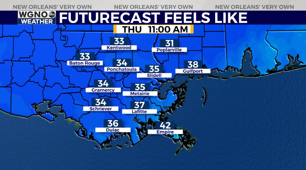
Christmas Eve, anticipate an incredibly chilling start with 40 degree temperatures on both sides of Lake Pontchartrain. A Wind Advisory will remain in effect until 4PM.
Christmas morning, lows drop even more to be below freezing again.
Keep up, updates stay available during WGNO’s 6:00 P.M. and 10:00 P.M. newscasts plus online on WGNO.com!
Check out current conditions near you: https://digital-stage.wgno.com/weather/new-orleans-weather-radar/
Stay up to date with the latest forecast: digital-stage.wgno.com/weather/forecast/
Download the WGNO Weather App to stay connected this hurricane season


