Rain will be tapering off through the evening with the heaviest activity pushing to the south. Expect scattered showers and a few storms through midnight. After that we will see mostly dry conditions through daybreak Wednesday.
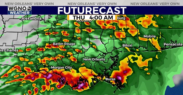
However another round of heavy rain and storms is on the way Wednesday. This will be similar to what we have seen recently.

This system will likely not be quite as strong as the one on Tuesday, however we could still see hail and gusty winds.
Right now we have a level 1 threat of severe weather. Keep in mind that was also the case Monday evening for today’s storms so it definitely means severe weather will be possible.

Most likely the biggest issue over the next couple of days will be that flooding potential. It won’t take much additional rain to lead to flash flooding. Be careful and as always avoid driving through flooded roads.
Stay with WGNO on air and online for the latest and download our new WGNO news app.


