Temperatures are mild late this afternoon and we are going to continue to stay mild heading through the overnight hours. No indication of freezing temperatures in the area anytime soon and it looks like spring will be here to stay.
Look for moisture and humidity to continue to increase over the next couple of days heading into the weekend.

As this happens we will have the potential for some sea fog. Once the dewpoints start to climb above the water temperature the chance for fog will go up, especially near the coastal areas. Be aware of that the next few mornings.
Otherwise a weak front is still expected to move into the northern half of the area on Thursday. This will bring the chance for spotty showers through the day.
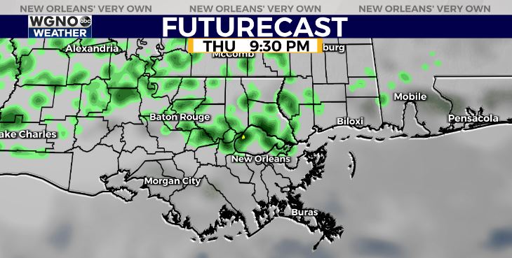
The best chance of rain the next couple of days will be along and north of I-10. Temperatures will remain warm with afternoon highs approaching 80 over the weekend.
Check out current conditions near you: digital-stage.wgno.com/weather/maps-and-radar/
Stay up to date with the latest forecast: digital-stage.wgno.com/weather/forecast/
Download the WGNO Weather App to stay connected this hurricane season


