A band of showers will be moving northeast across the area through the early evening time frame. The larger part of the storm system is out to the west producing strong storms in eastern Texas.
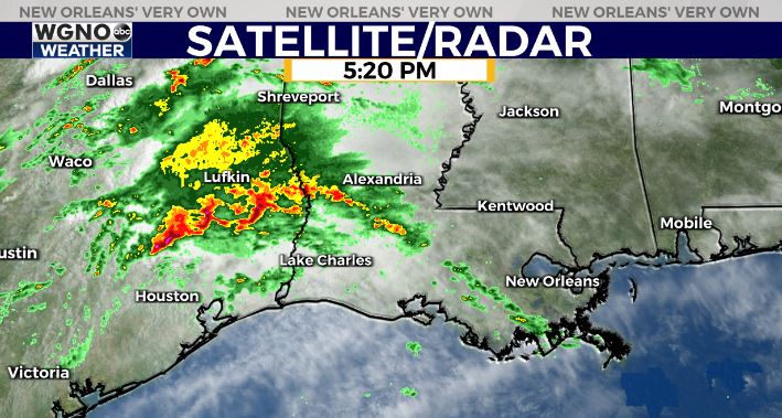
Most of the activity overnight looks like it will stay just north of our area in central Mississippi and Louisiana. However some storms may develop overnight at times.
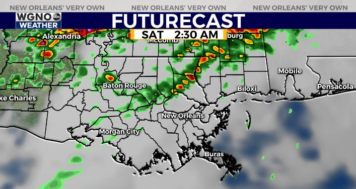
The forecast model does not indicate a whole lot developing through sunrise. It’s worth noting however that some models do show a line of strong storms moving through around 2-3 AM. There is still quite a bit of uncertainty with this storm system.
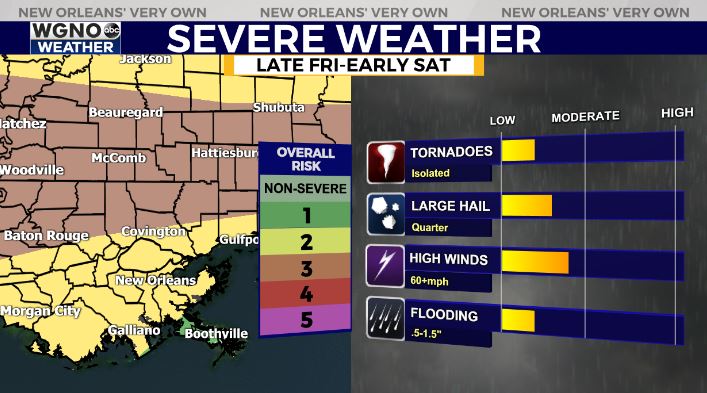
Ingredients are in place for severe weather along the warm front overnight. Right now it looks like most of the development along that is just to our north. However areas north of I-12 in southeast Louisiana and I-10 in southern Mississippi need to be aware of that severe weather threat.
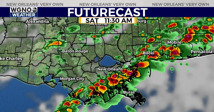
Otherwise some spotty storms will continue to be possible through Saturday afternoon before a cold front moves through. Look for dry conditions on Sunday.


