
Potential Tropical Cyclone 3 continues moving north across the central Gulf this morning and is showing some signs of strengthening. That trend is likely to continue through the day and the storm is forecast to make landfall as a tropical storm in southern Louisiana.
Overall though the same thoughts from the past couple days continue with the majority of the rain being well east of the center. With the center moving inland a little closer now it looks like we will miss out on the heaviest rain threat.
Look for 3-6″ on average across our area especially New Orleans eastward. Heaviest amounts will be well off to the east it looks like now, and areas along and west of I-55 won’t see much at all.
Gusty winds will move through especially in these heavy bands. We could see gusts up to 45 mph.
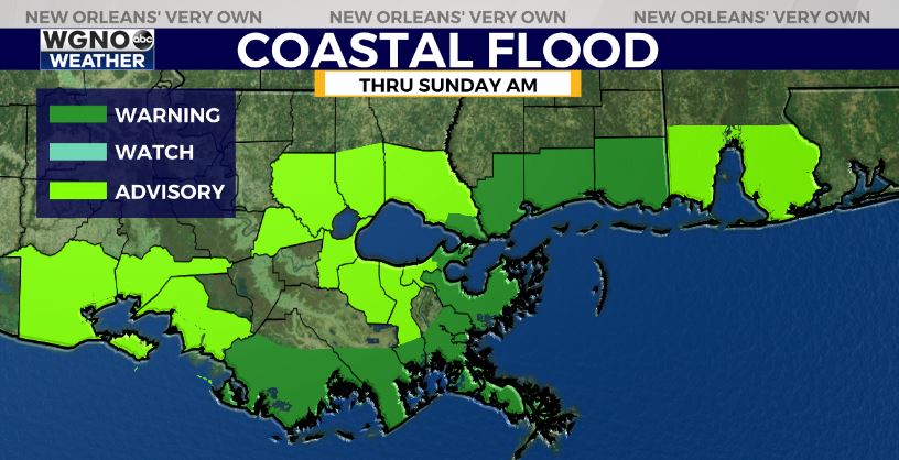
Coastal flooding will also be possible but nothing major. Look for 2-3 feet outside the levees along the coast and 1-2 feet along the lakes.
Isolated tornadoes will be possible through tonight and Saturday morning with some of the heaviest activity.


