It is going to be cold and unpleasant over the next 24-36 hours as the next storm system pushes across the deep south. Temperatures Sunday afternoon are only in the mid 40s and not getting any warmer through the day.
Look for rain to spread into the area starting later this evening and tonight and continue through early Monday.
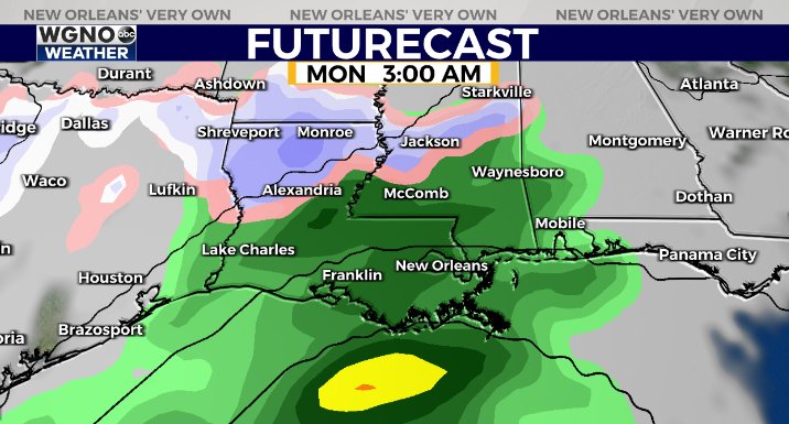
The air will be cold enough for snow along the I-20 corridor, and some winter storm watches and warnings are in effect. However for our area it looks like we will just stay too warm for any wintry precip to develop.

It will certainly be a cold rain however with mid 30s for low to the north, and a few sleet pellets mixed in is not totally out of the question.
Rain will move out Monday morning and we will see chilly weather continuing with highs once again only in the upper 40s. Freezing temps come back in the colder areas by Tuesday morning.
Check out current conditions near you: https://digital-stage.wgno.com/weather/new-orleans-weather-radar/
Stay up to date with the latest forecast: digital-stage.wgno.com/weather/forecast/
Download the WGNO Weather App to stay connected this hurricane season


