After a warm, muggy day today, changes are coming soon. Another cold front heads to town shortly, bringing rain in your forecast for the later afternoon through evening timeframe.

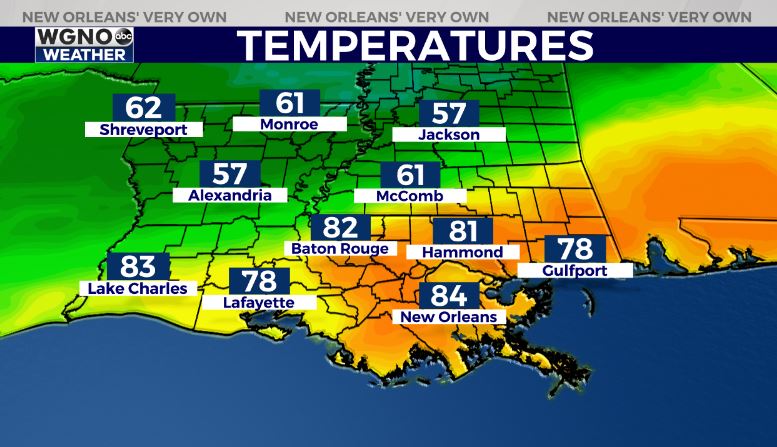
Can you tell where this is now?! Just look at that major temperature difference from Alexandria to New Orleans or Baton Rouge!

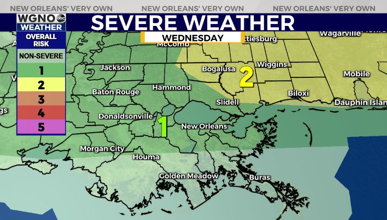
The Storm Prediction Center is issuing a Marginal Risk (level 1 out of 5) for severe thunderstorms. Anticipate an increasingly low end threat, but know gusty winds and a possible spin up tornado cannot be ruled out completely.
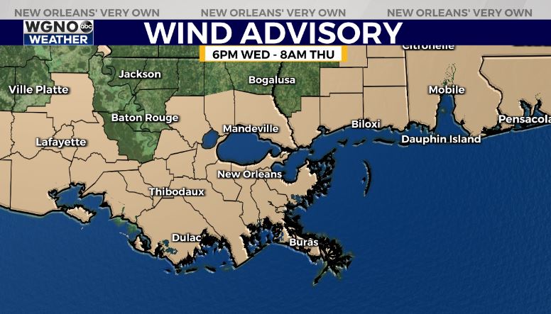
A Wind Advisory will go into effect from 6PM Wednesday to 8AM Thursday.

We have spring-like patterns sticking around with the forecast for Easter weekend looking much quieter. At that point, it will feel like it did Monday with colder overnight lows dipping into the upper 30s and lower 40s.
Keep up, updates remain available online on WGNO.com and during Good Morning New Orleans!
Check out current conditions near you: https://digital-stage.wgno.com/weather/new-orleans-weather-radar/
Stay up to date with the latest forecast: digital-stage.wgno.com/weather/forecast/
Download the WGNO Weather App to stay connected this hurricane season


