11:30AM FORECAST from Meteorologist Scot Pilie — Gorgeous Thursday. Severe risk late Friday-Saturday morning. Here’s the breakdown:
A lovely Thursday on the way with lots of sunshine & mild temperatures! Clouds will start to filter in late Thursday-Thursday night.
Unfortunately, another severe weather risk looks to develop late Friday into the start of the weekend.

The Storm Prediction Center has introduced a Marginal Risk(Level 1 out of 5) for severe storms on Friday

A Slight Risk(Level 2 out of 5) for severe thunderstorms Friday night-Saturday morning.
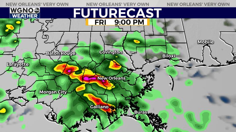
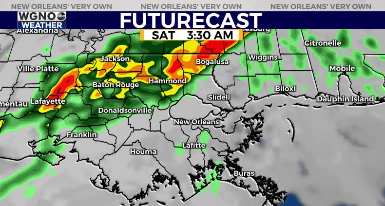
Two rounds of storms possible, round one of scattered storms with the warm front late Friday & second round late Friday night-Saturday morning.
All forms of severe weather appear possible including gusty winds, isolated large hail, isolated tornado.
Based on latest model guidance, it appears the heaviest rain will stay north of southeast Louisiana with the greatest severe risk north of I-10/I-12. In fact, the best ingredients for any severe potential looks to be north of the LA/MS border.
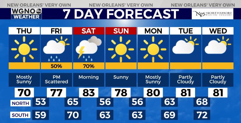
The good news? Much of the rain looks to clear by mid-late morning with only an isolated storm or two Saturday mid day-early afternoon. A mostly dry late Saturday-Sunday!


