Happy Sunday as a stunning day today wraps up across southeast Louisiana. Indeed, the luckiest forecast for Saint Patrick’s Day weekend!
Highs by your afternoon after lunch reaching the upper 70s to lower 80s area-wide.
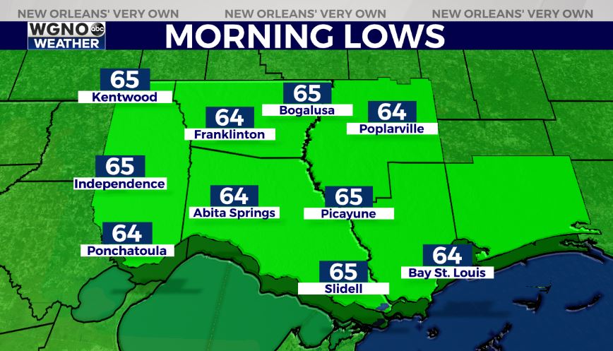
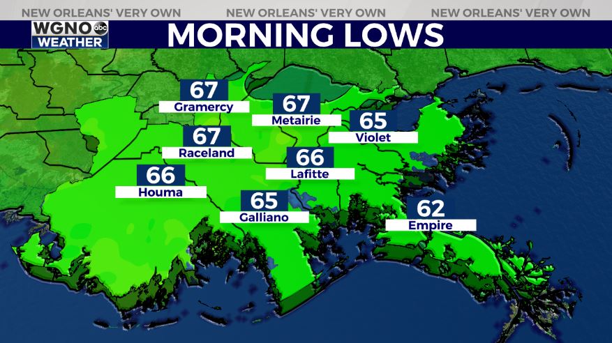
Anticipate an overall pleasant night tonight, as well. We should be slightly warmer than 24 hours ago since temperatures remain in 60s on both sides of Lake Pontchartrain.


Tomorrow, more clouds return with additional rain chances as the theme continues being warmth. A pattern change will be beginning shortly as rain chances return each and every afternoon on radar.

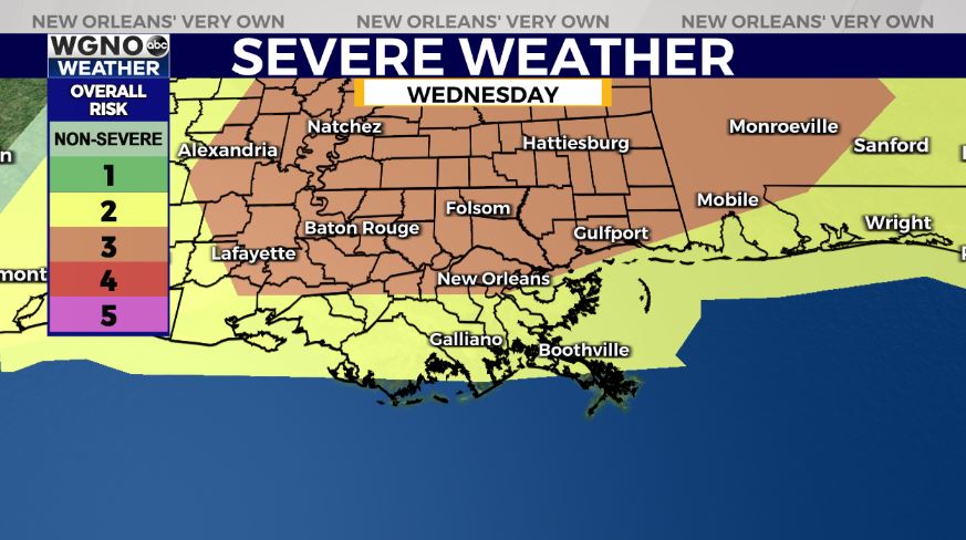
This week, we must keep an eye on the forecast for Wednesday as severe weather becomes a possibility. Maybe not the luckiest forecast for Saint Patrick’s Day, itself. Of course this is something we’ll be watching closely, so stay tuned!
Keep up, updates remain available online on WGNO.com all night tonight and during Good Morning New Orleans!
Check out current conditions near you: https://digital-stage.wgno.com/weather/new-orleans-weather-radar/
Stay up to date with the latest forecast: digital-stage.wgno.com/weather/forecast/
Download the WGNO Weather App to stay connected this hurricane season


