We have one more really hot day on tap for your Wednesday as temperatures again climb into the mid 90s. Look for heat index values well above 100 once again so please take it easy outside.
We will be watching the potential of another storm cluster moving in from the northeast again late Wednesday, otherwise not much in the way of rain developing. It looks like the north shore and southern Mississippi will have the best chance of seeing rain from that.
Any storms that develop could still produce locally heavy rainfall amounts and gusty winds. Rain chances start to go back up by Thursday for the second half of the week. That will keep afternoon temperatures cooler as well.
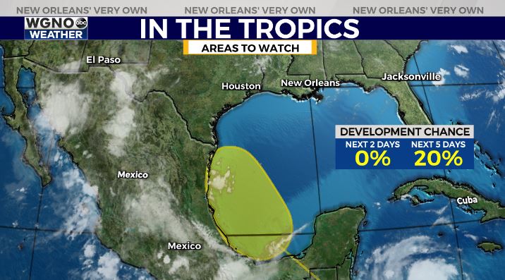
In the tropics we are watching an area of potential development in the Bay of Campeche over the next few days. That will not impact our weather though and it likely moves into northern Mexico before having a chance to develop.