GEISMAR – Geographic Information System (GIS) is a quickly expanding technological field with endless applications within almost every industry. Ms. Lindsay Seely, Environmental Science and Biology II teacher at Dutchtown High School, uses GIS technology extensively with her students within her classroom.
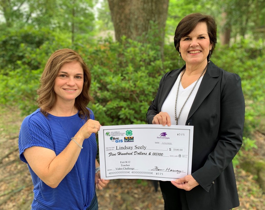
Ms. Seely entered the 2019-2020 school year Esri School Teacher Video Challenge for a chance to win a $500 cash prize. Her video submission was titled, “How I Use ArcGIS” and showcases all the powerful ArcGIS tools and resources they utilize in the classroom, throughout different curriculum.
Her class used Make-A-Map tools including data layers such as Polluted waterways, Tapestry Segmentation, and County Health Rankings to show the impacts that humans have on the environment around them. They then used the group map ability to combine their individual maps to integrate and visualize how the different layers correlated with one another, focusing on their local area of Southeast Louisiana.
As the students conducted their own studies utilizing real data, eye-opening observations were made about their local area of Ascension Parish from a new and different perspective. This project using GIS made students aware of real-world environmental issues as they realized the urgency to take care of their local environment as it can have an impact on a much larger scale.