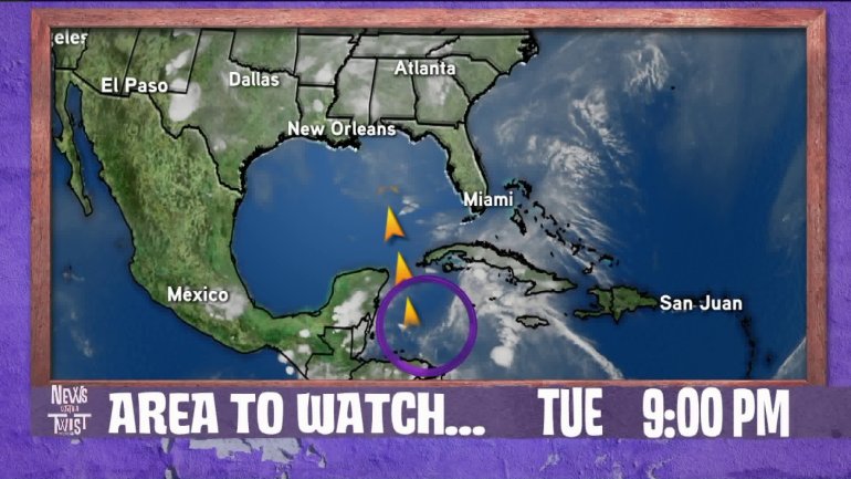
A broad area of low pressure continues to remain disorganized in the Caribbean Sea and while development is unlikely in the next two days, chances have improved that it could acquire tropical characteristics once it enters the Gulf of Mexico later this week.
The chances of tropical development are near 0% through the next 48 hours and 50% through the next 5 days.
Currently situated north of the Nicaraguan coast, or east of the coast of Belize, the low is producing widespread cloudiness and rain throughout Cuba and up the Florida Peninsula. As conditions become more favorable for development in the Gulf, we should get a better idea to the track of the system as it slowly pushes north.
Even if the disturbance doesn’t become tropical, the threat of widespread, heavy rain and possible flooding will accompany the system, particularly to its east.

At this time, it appears the Louisiana and Mississippi coastlines should avoid the system as it tracks to the east into the Eastern Gulf. If your Memorial Day travel plans include anywhere in Florida, from Pensacola to Miami, keep an eye on this system as it will likely bring widespread rains and possible flooding.
The WGNO weather team will continue to bring you developments on-air and online as soon as they are available.


