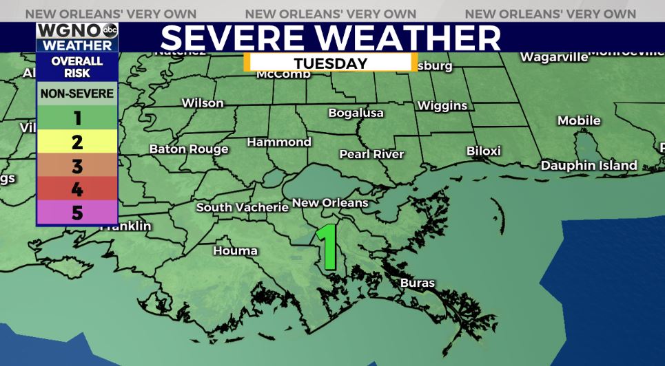
Later tonight to early Wednesday, there’s the chance for additional storms, and several could become severe. Right now, Storm Preditction Center is issuing a Marginal Risk (Level 1/5) for all of WGNO’s viewing area until mid-week.
After a busy start to today, all flood watches have been extended through Wednesday afternoon after lunch. Still, the primary concern through late Tuesday will be heavy rain in already saturated locations, which could lead to localized street flooding once again in Jefferson, Orleans, or Northshore locations.
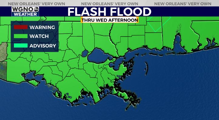
Gusty winds are a concern, as well. Stormier patterns stick around through mid-week, so have ways you can receive warning information on hand incase anything is issued!
Finally, our forecast for the weekend is going to be beautiful with sunshine and dry conditions.
Keep up, updates will remain available online on WGNO.com and tonight during WGNO News at 5PM, 6PM, and 10PM!
Check out current conditions near you: https://digital-stage.wgno.com/weather/new-orleans-weather-radar/
Stay up to date with the latest forecast: digital-stage.wgno.com/weather/forecast/
Download the WGNO Weather App to stay connected this hurricane season


