Day five of heavy rain in southeast Louisiana, and this is only continuing given our forecast for Saturday evening!

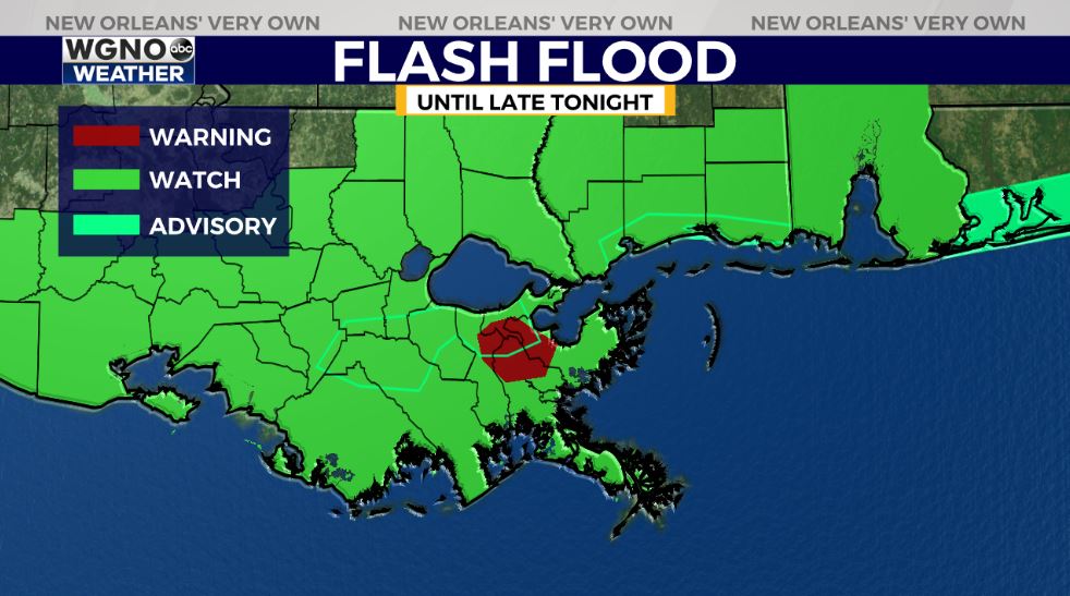
A Flash Flood Watch has been extended across the Gulf Coast region on maps for all of coastal Louisiana and Mississippi ahead of an anticipated heavy rainfall cycle once more.
A Flash Flood Warning did remain in effect for Orleans Parish, Jefferson Parish, and St. Bernard Parish until 4:30PM today as heavy rain fell in a short amount of time. Fortunately, storms inland will be below severe limits, at least. Right now, the heaviest rain remains off of Louisiana’s coast near Lafourche Parish.

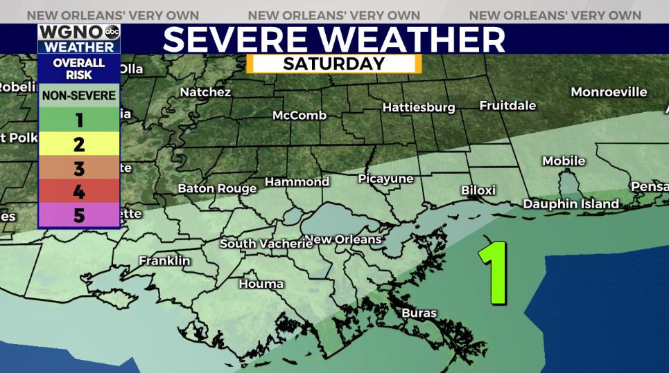
The Storm Prediction Center is issuing only extreme coastal Louisiana’s Marginal Risk (Level 1 out of 5) for severe thunderstorms.
We are forecasting for a primary risk of locally heavy rainfall through late today, but this is actually a low-end risk in comparison on earlier in the week.
As a summary, rain chances will remain in the forecast for night tonight, although the rain coverage looks more scattered rather than numerous as our evening progresses. We promise, the forecast for this upcoming week looks beautiful with sunshine and Spring-like temperatures!
Check out current conditions near you: https://digital-stage.wgno.com/weather/new-orleans-weather-radar/
Stay up to date with the latest forecast: digital-stage.wgno.com/weather/forecast/
Download the WGNO Weather App to stay connected this hurricane season


