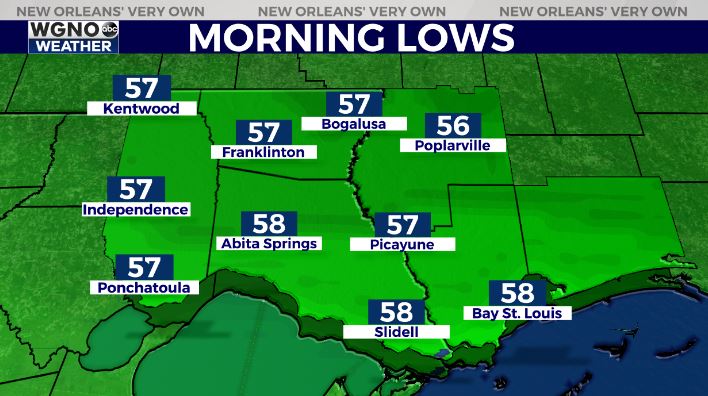
Rain will hold off through most of the night and with a little clearing we should see pleasant and cooler conditions by Friday morning. Look for mid to upper 50s for lows in the northern half of the area with low to mid 60s to the south.

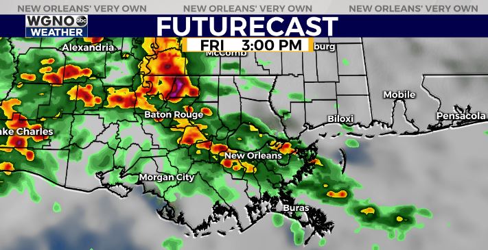
However the break in the rain will not last as another round moves in by Friday afternoon. Look for this batch to begin moving up from the southwest by early afternoon.

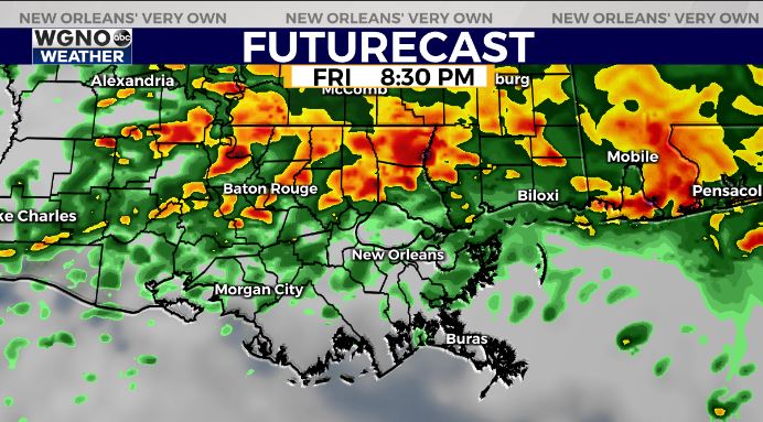
The main difference from the past few events will be the fact that this actually moves north and stays there as opposed to coming across the area from the northwest to the southeast. This will put the focus for the heaviest rain along and north of I-12 and in southern Mississippi.

The threat for severe weather looks lower than the past few days but additional heavy rain is possible. Flash flooding could occur very quickly due to the saturated ground. Please stay aware of weather conditions through Friday night.
Showers will be more hit or miss on Saturday and then we finally clear out by Sunday.
Stay with WGNO on air and online for the latest and download the new WGNO news app.


