After a very active start to today across the southeast region on radar, our severe weather threat has ended.
There are area-wide reports mentioning hail plus tree damage. This is something we collect survey information on all day today until even tomorrow, assessing as more come through. Clouds have returned while your evening progresses with an increase in dry conditions.
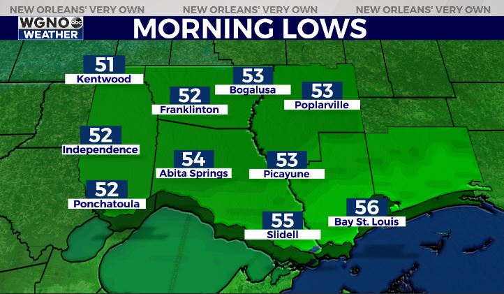
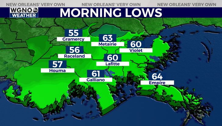
Anticipate a cool night tonight across most soutshore locations, but it will stay chilly north of Lake Ponchartain.


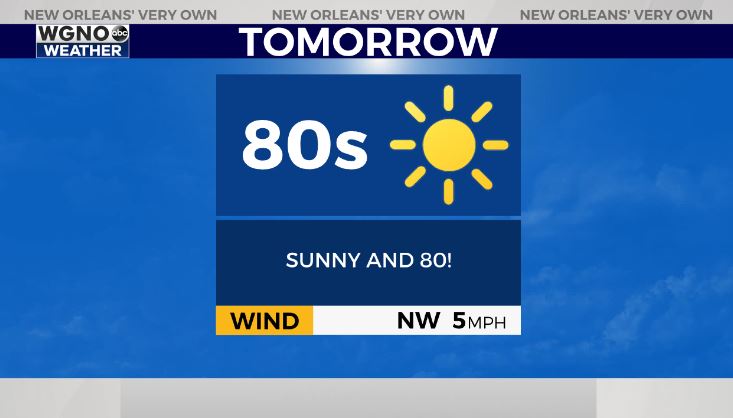
Gratefully, tomorrow will be beautiful with plenty more sun and warmth as the themes.

Yet another stormy week we have coming after Sunday’s quick lull! Keep up, updates remain available during WGNO News at 5PM and 10PM tomorrow night!
Check out current conditions near you: https://digital-stage.wgno.com/weather/new-orleans-weather-radar/
Stay up to date with the latest forecast: digital-stage.wgno.com/weather/forecast/
Download the WGNO Weather App to stay connected this hurricane season


