A very cold air mass continues to sit just to the west and it will be gradually filtering in over the next few days. Northwest parts of the area will be the coolest through the weekend and then it will be a bit warmer down the river.

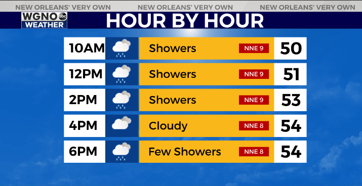
Rain chances will continue over the next day or so as well. Likely it won’t be as heavy as today but we will be seeing scattered showers later tonight and Friday morning. There could still be a few lingering showers Friday afternoon into Saturday as well.
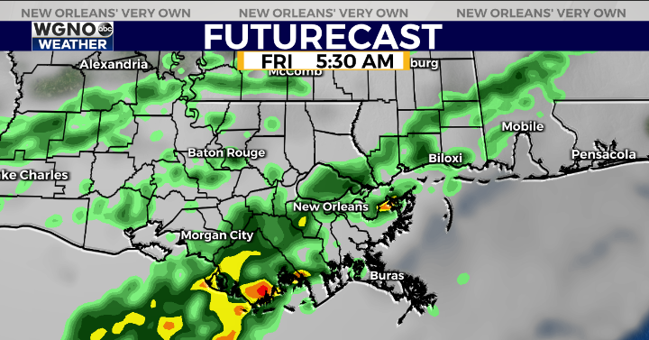
Look for another cool and gloomy day tomorrow with temperatures only in the low to mid 50s for most of the area.
We do stay above freezing across the area however until we see the cold move in Monday night which drops us down below freezing on Tuesday morning. A hard freeze is looking more likely for Tuesday along and north of I-12 with a light freeze to the south.
Check out current conditions near you: https://digital-stage.wgno.com/weather/new-orleans-weather-radar/
Stay up to date with the latest forecast: digital-stage.wgno.com/weather/forecast/
Download the WGNO Weather App to stay connected this hurricane season


