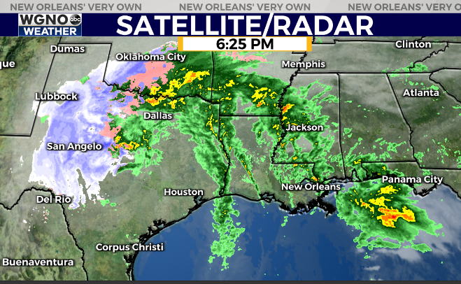
Showers and a few storms continue to move across the area Thursday evening but have not intensified enough to produce severe weather so far today.
The strongest activity is moving up through the Pearl River Corridor.

The storm system producing all the weather out in Texas continues to turn more northeast which is really preventing the activity ahead of it from getting too strong. Ingredients are there in the atmosphere but the storms have not been able to take advantage.
We will still need to watch things over the next few hours but the severe weather threat does seem lower. Expect a break in the rain through the next 2-3 hours before more showers move back in. The main line looks to be in the area around midnight so you will be dodging that rain if you choose to set off fireworks.
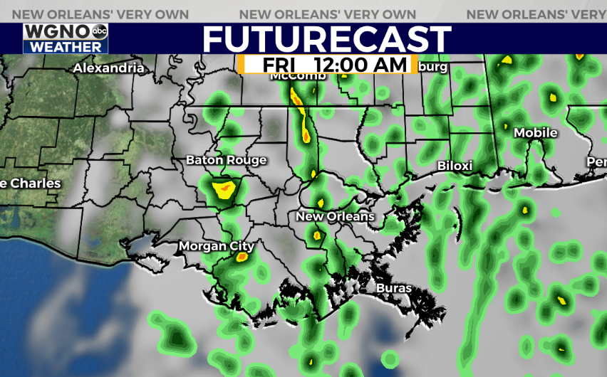
Overall it is still worth keeping an eye on the weather through about midnight in case stronger storms do develop. Expect a pleasant start to 2021 with cooler weather for the weekend.
Check out current conditions near you: https://digital-stage.wgno.com/weather/new-orleans-weather-radar/
Stay up to date with the latest forecast: digital-stage.wgno.com/weather/forecast/
Download the WGNO Weather App to stay connected this hurricane season


