It was another gorgeous day today across southeast Louisiana and New Orleans proper! Sunshine remains the theme until Tuesday. One word that sums up upcoming weather patterns: LAYERS!
Northshore residents wake up tomorrow to upper 30s – lower 40s outside their windows while Southshore residents can expect mid – upper 40s! This is coat weather. Highs reach upper 60s – lower 70s tomorrow afternoon after lunch.
Patchy fog may be becoming an issue once more during the early hours, primarily west of I-55. Remember, at that point, low beams are your friend! Exercise caution on the roads if up early!
As a second system arrives mid-week, we see precipitation chances go up greatly. Temperatures will differ considerably at that point.

This is going to allow for forecast conditions by Thursday to be beautiful, near freezing once more.
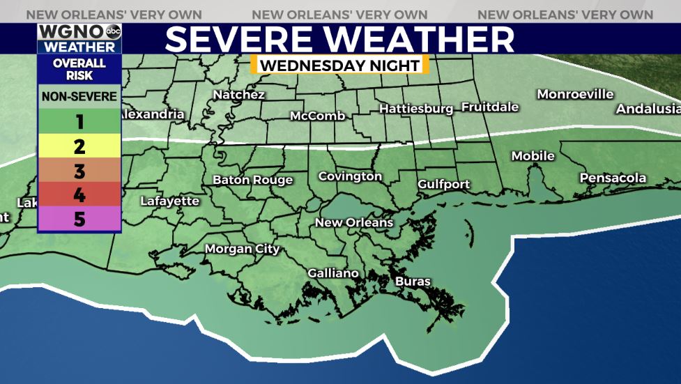
New Orleans’ forecast for late Wednesday includes rain in front of yet another low pressure system. Anticipate a level 1/5 Marginal Risk for severe weather as gusty winds and few isolated tornadoes look possible.
Keep up, updates will be accessible online on WGNO.com and through our WGNO Weather App!
Check out current conditions near you: https://digital-stage.wgno.com/weather/new-orleans-weather-radar/
Stay up to date with the latest forecast: digital-stage.wgno.com/weather/forecast/
Download the WGNO Weather App to stay connected this hurricane season


