New Orleans’ forecast for Sunday night includes rain in front of yet another low pressure system. Today we were dealing with above normal, Spring-like temperatures, but Winter comes back to town by tomorrow morning.
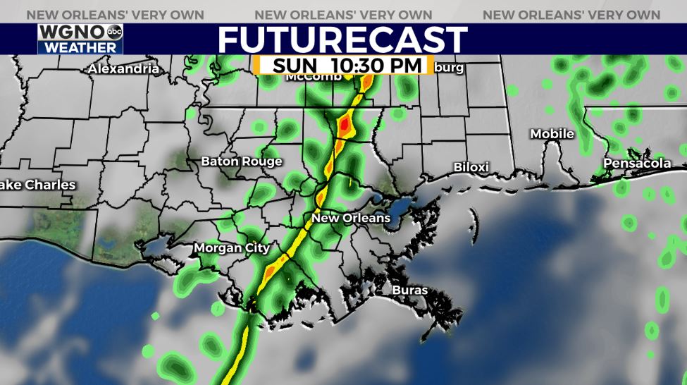
On radar, expect our storm threat at or before 11PM. Right now, no severe elements are area-wide concerns.
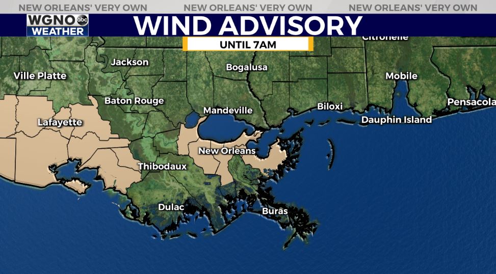
Conditions improve once this system progresses east, then the much colder air filters through. A Wind Advisory will remain in effect until 7AM for parishes shaded tan.
Cold front number two of your week arrives Tuesday, so at that point, shower chances return.

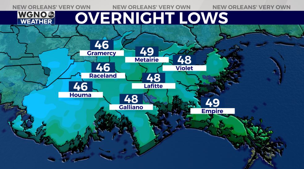
Monday, anticipate a chilly start with 40 degree temperatures north and south of Lake Pontchartrain. Highs by everyone’s afternoon after lunch should reach just below 60!
Keep up, updates stay available during WGNO’s 10:00 P.M. newscast plus online on WGNO.com!
Check out current conditions near you: https://digital-stage.wgno.com/weather/new-orleans-weather-radar/
Stay up to date with the latest forecast: digital-stage.wgno.com/weather/forecast/
Download the WGNO Weather App to stay connected this hurricane season


