The keys to Tropical Storm #Cristobal — the second earliest land-falling storm in Louisiana history.

1. Stalled over Mexico — This system was at max winds of 60mph before stalling for two days in Mexico. This drastically weakened the storm, and it never really recovered.
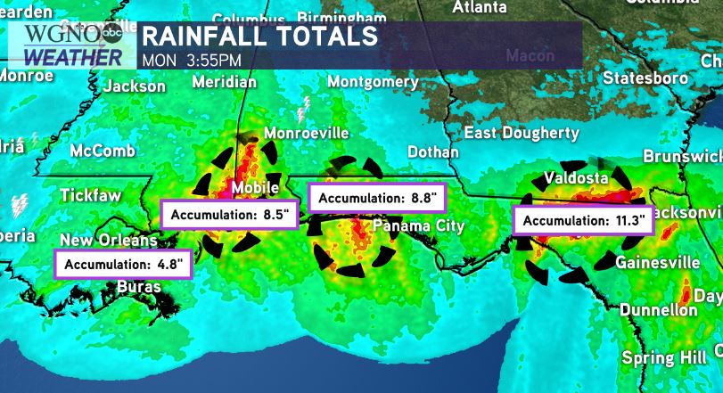
2. Further east track — Initially projected to make a landfall in south-central Louisiana, this system took a slightly further east track, Which spared Louisiana the heaviest rainfall impacts.
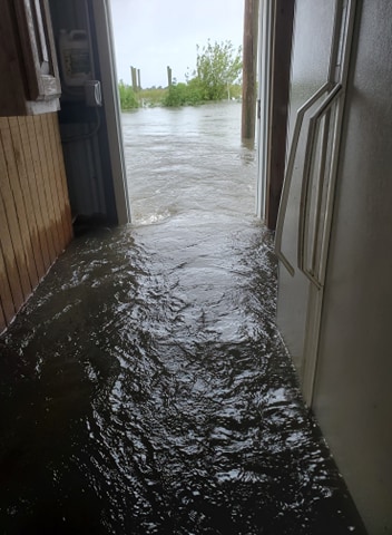
3. Large, lopsided system — While winds weren’t incredibly strong with Cristobal, the system’s large size caused significant storm surge for “just a tropical storm.” Many spots from Grand Isle to Dauplin Island, Alabama saw 2-5+ feet of storm surge.
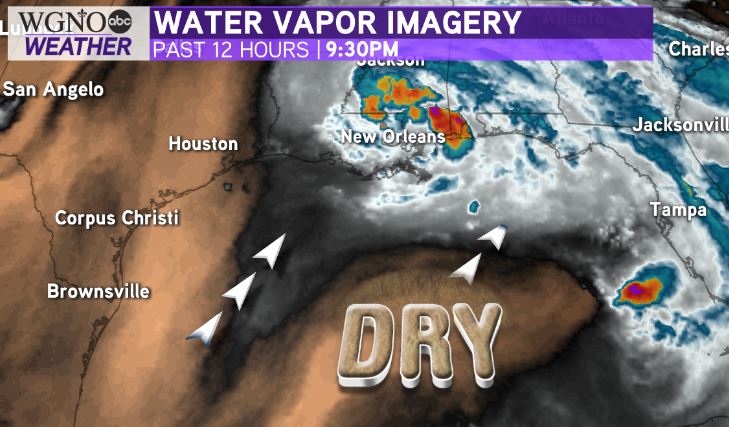
4. Dry air — Allowed for only slow organization of Cristobal as it moved over the Gulf of Mexico. Without the dry air south and west of the system, we may have seen the system intensify more.
Let this system serve as a trial run! Let’s hope it’s the last we see this year. We have a long hurricane season to go.


