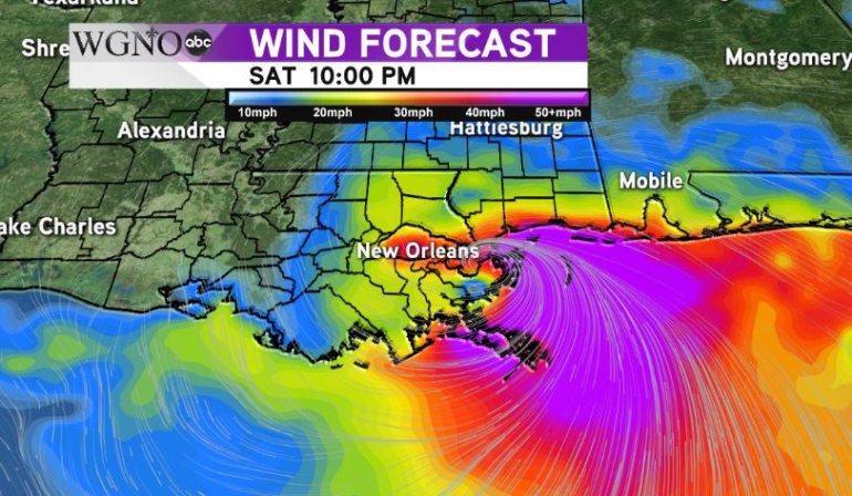
NEW ORLEANS — The latest update from the National Hurricane Center maintains Nate as a Category 1 hurricane through landfall. However regardless of intensity the impacts will remain the same for the area. Most of our viewing area will see minimal impacts from that.
The exceptions will be areas east of the center. Biggest impacts will be in southern Mississippi as we’ve been saying over the past few days. In these areas along the Mississippi coast you can expect hurricane force winds, especially gusts, along with significant storm surge.
 By 10 PM as the center passes east most of the area will not see significant winds. Again east of the center hurricane force winds or at the very least strong tropical storm force winds will be likely in southern Mississippi.
Storm surge flooding will be an issues. Areas outside the levee system around Lake Pontchartrain will have flooding. 7-11 feet will be possible along the Mississippi Coast. Those areas need to be evacuated in low lying spots.
Overall the impacts will be minimal around the majority of southeast Louisiana.


