Good Morning, New Orleans, and a Happy Black and Gold Friday! We are continuing the theme of rain with on and off downpours that could lead to some flooding. Today, the Weather Prediction Center is issuing a level 2/4 Slight Risk for localized street flooding again.
A Flood Watch is issued for the Northshore and Mississippi Gulf Coast with flood advisories possible later into the day.
It won’t be a situation where we see all day rain, but there will be large areas of rain moving through at times through the weekend. Overall rainfall amounts look to be in the 2-4 inch range through Friday, but higher amounts will be possible with embedded heavy cells.
This will once again keep temperatures below average with mostly mid to upper 80s each afternoon. Overnight lows will stay in the 70s with humid conditions.

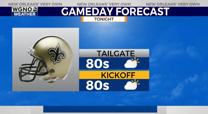
Saints fans will be marching in to the Superdome only needing umbrellas when second lining, so some great news there! Who Dat!
There is another tropical wave way out in the Atlantic with a 20% chance from NHC of development in the next 5 days. However at this point there is no concern for our area. We are also watching another cluster of thunderstorms near the Windward Islands for formation potential. Just stay aware!


